
Map of Lafayette from the 1950's
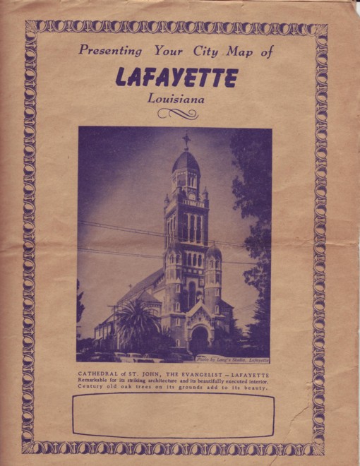
I scanned an old map of Lafayette from the 1950's and put it here. Click on a section of the map to see that quadrant in a larger view. There's also a 1.1 Meg version of the whole map.
It's interesting because it's from before most of the road improvements were made and you can see how the street layout used to be. You can also see a few things that aren't there anymore like the Southern Pacific yards and an airport on N. University. Plus you can see how modifications to other streets affected the importance of others. Simcoe, N Pierce, and St. John are just kind of relegated to being ghetto streets now, but they used to be major. Same thing with General Mouton. Anyway, it's pretty interesting to check out.
posted by Great Boudenny at 4:12 PM
![]()
![]()


0 Comments:
Post a Comment
<< Home